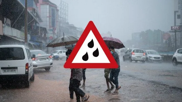
What does the current weather forecast mean for Jalandhar? As the region braces for intermittent rains and strong winds, the India Meteorological Department (IMD) has issued an Orange Alert, indicating that residents should prepare for potentially severe weather conditions.
Jalandhar is experiencing these weather changes due to an active Western Disturbance, which is expected to bring moderate to heavy thundershowers starting tonight and continuing through tomorrow noon. The forecast predicts maximum temperatures around 28°C and minimums dropping to 18°C, marking a sudden drop of 2 to 4 degrees.
Wind speeds are also a concern, with strong gusts anticipated to reach 40 to 50 kmph, and occasionally gusting up to 60 kmph. Such conditions can pose risks to both infrastructure and safety, prompting local authorities to take necessary precautions.
Farmers in the area have been advised to avoid watering crops or spraying pesticides until the weather stabilizes, as the impending thunderstorms and potential hailstorms could severely impact agricultural activities.
This significant weather shift is not just a local phenomenon; it reflects broader climatic changes affecting India. The active Western Disturbance is a reminder of the dynamic nature of weather patterns in the region.
As Jalandhar prepares for these weather events, residents are encouraged to stay informed through local news and weather updates. The situation remains fluid, and while forecasts provide a general overview, details remain unconfirmed as conditions evolve.
With the IMD closely monitoring the situation, further updates will be provided as more information becomes available. The community’s resilience will be tested as they navigate through these challenging weather conditions.