Today’s Weather Overview
Today’s weather in West Michigan is characterized by mostly sunny to partly cloudy skies and cool temperatures, with highs reaching around 40°F. However, a significant change is expected as rain and snow are forecasted to develop tonight.
Immediate Weather Conditions
As the day progresses, residents can anticipate a quick burst of snow around Grand Rapids. This is part of a broader weather pattern influenced by a developing and strong Alberta Clipper system that is set to arrive late tonight into Friday.
Wider Weather Context
In addition to the snow, a winter storm is possible across northern lower Michigan and north central lower Michigan. The National Weather Service has issued a High Wind Watch, warning of gusts reaching between 55 and 60 mph.
Looking ahead to the weekend, Sunday is expected to be cloudy and windy, with a wintry mix of rain, snow, and ice anticipated. High temperatures will be in the mid 40s, with southern counties experiencing slightly warmer conditions in the low to mid 50s.
As we move into Monday, the forecast indicates a continuation of cloudy and windy conditions, with sharply colder temperatures and snow showers expected.
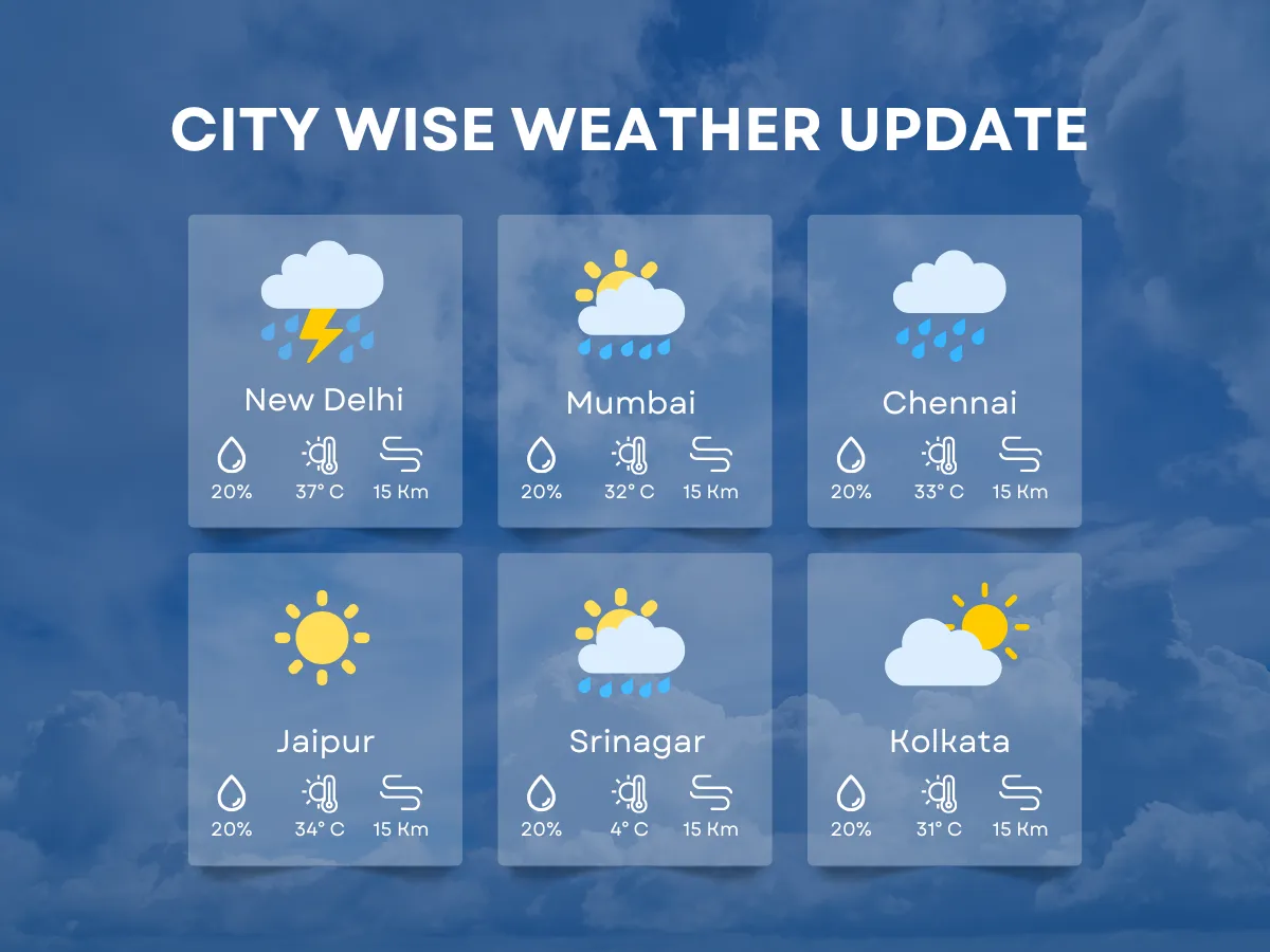
In contrast, other regions such as Delhi are experiencing unusually warm conditions, with temperatures ranging from 29 to 38 degrees Celsius. Meanwhile, Gujarat is facing heatwave conditions, and Maharashtra’s Vidarbha region is seeing temperatures exceeding 40°C.
Details remain unconfirmed regarding the full impact of the incoming winter storm in Michigan, but residents are advised to prepare for rapidly changing weather conditions.